Gravity Assist as In‑Mission Calibration Opportunity
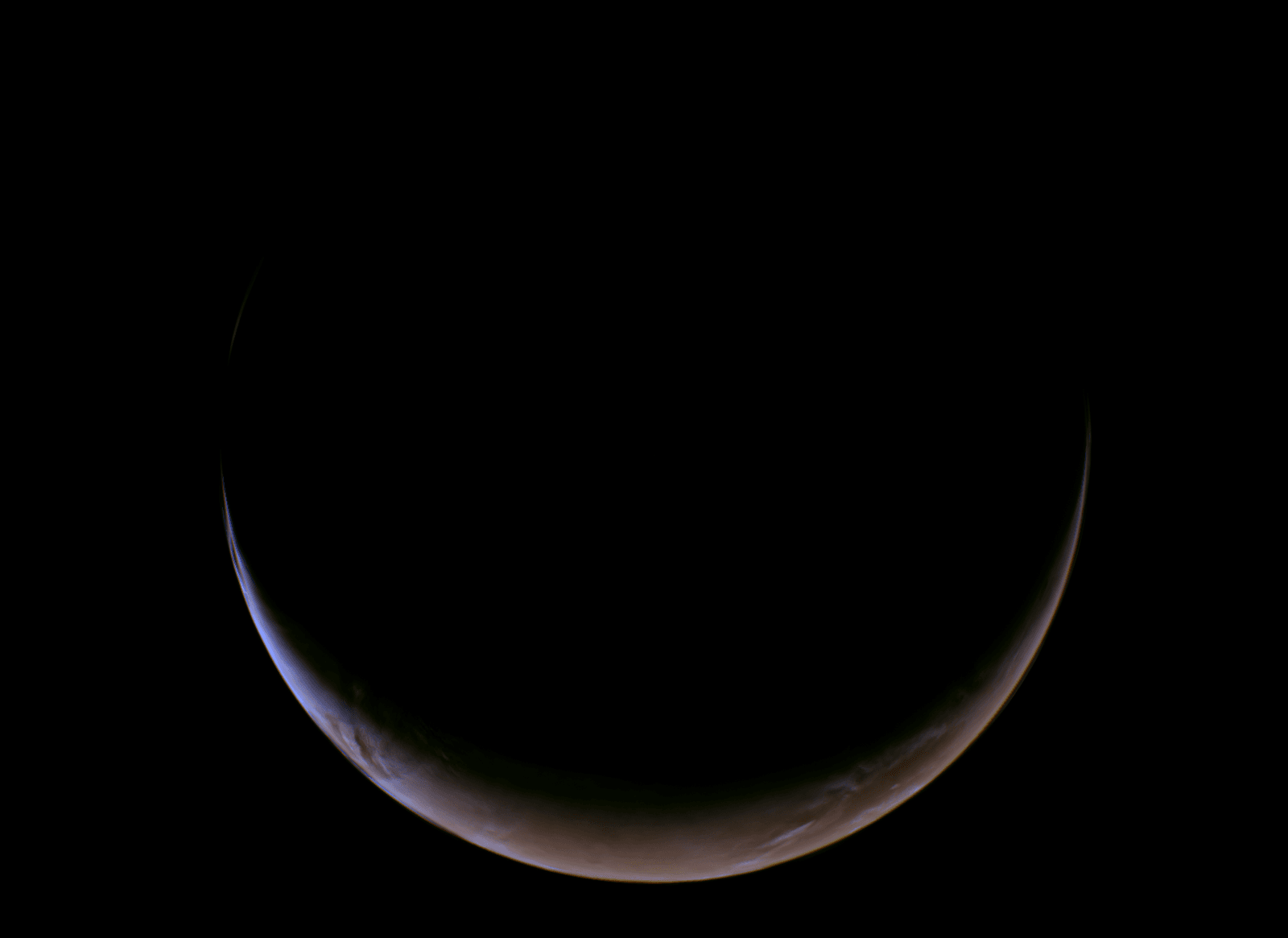
A probe took incredible pictures of Mars on its way to a far‑off asteroid, capturing the red desert in high detail while using it for navigation. The Mars flyby exploits gravity assist dynamics to boost velocity while gathering scientific data, turning an unexpected detour into routine operation. This event offers a unique chance to fine‑tune sensors that will later operate at the far‑off asteroid.
Instruments on board include magnetometers, gamma ray and neutron spectrometers, and high‑resolution cameras
- Magnetometers measure planetary magnetic fields
- Gamma ray and neutron spectrometers detect mineral composition
- High‑resolution cameras provide unprecedented surface detail
High‑Resolution Photos Reveal Rugged Terrain and Solar Wind Interactions
High‑resolution photos show rugged terrain and faint traces of solar wind interacting with the planet’s atmosphere. The data also highlights the presence of water ice near the south polar cap, a resource for future missions. Mars flyby images become a natural testbed for instrument performance.
Mars Flyby Provides Remote Sensing Advantage
The probe adds 4 609 km distance from the surface and increases speed to 1 600 km/h (994 mph). Forward outlook: Leveraging planetary interactions like this one maximizes mission efficiency while gathering valuable calibration data, suggesting that future deep‑space probes may routinely use nearby worlds as both navigational aids and scientific laboratories.